We source state of the art satellite imagery to create comprehensive site plans. Insured property measurements and adjacent occupancies are overlaid to allow you to easily grasp the layout and surrounding risks.


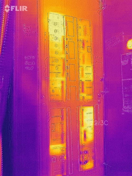
Advanced thermal imagery can see risks not visible to the naked eye. Allowing us to recommend risk reducing action. Thermal imaging can find overloaded electrical equipment , damaged bearings, hidden water damaged surfaces and more.